GRM
mapping tracking and monitoring risk analysis calculation provides the service

Strategic Approach, Sustainable Assurance
GRM develops bespoke risk management systems designed to proactively identify, analyse and manage all types of risks that may be encountered within large-scale organisational structures. These solutions cover a wide range of scenarios, including structural risks, natural disasters, infrastructure vulnerabilities and operational disruptions. By combining engineering, data analysis and software infrastructure, these systems enable organisations to become more resilient, better prepared and more sustainable.
Building Health Monitoring System

Monitor the Safety of Buildings Using Real-Time Data
The structural health monitoring (SHM) systems developed by GRM are used particularly in structures of strategic importance, such as high-rise buildings, industrial facilities and bridges. The system monitors the structure’s physical parameters – such as vibration, deformation, temperature and humidity – in real time via sensors. This enables early warning mechanisms to be triggered, the structure’s performance to be continuously monitored, and preventative measures to be taken before potential faults or risks arise.
Earthquake Monitoring System
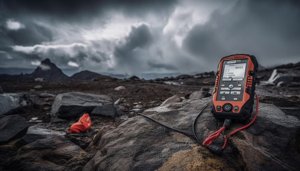
Instant Detection and Alarms with High-Precision Sensors
The earthquake monitoring systems developed by GRM for buildings in high-risk earthquake zones offer advanced solutions that detect and record seismic activity in real time. These systems analyse the behaviour of the building by collecting data not only during an earthquake, but also before and after it occurs. Furthermore, they can be integrated with early warning and automatic evacuation systems for use in disaster management processes.
Microzoning Studies
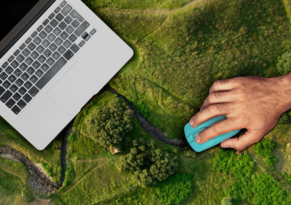
Scientific Mapping of Ground Risks
Microzoning involves a detailed analysis of the geological, geotechnical and seismic characteristics of a settlement area. GRM creates ground-based risk maps in this field using advanced data collection tools, in-situ testing methods and UAV-supported imaging technologies. This work is of vital importance, particularly in urban planning, development decisions and pre-disaster preparedness processes. Through microzoning, potential ground movements and ground amplification effects can be identified in advance, thereby laying the foundations for safe development.