GRM, UAV
mapping tracking and monitoring risk analysis calculation provides the service
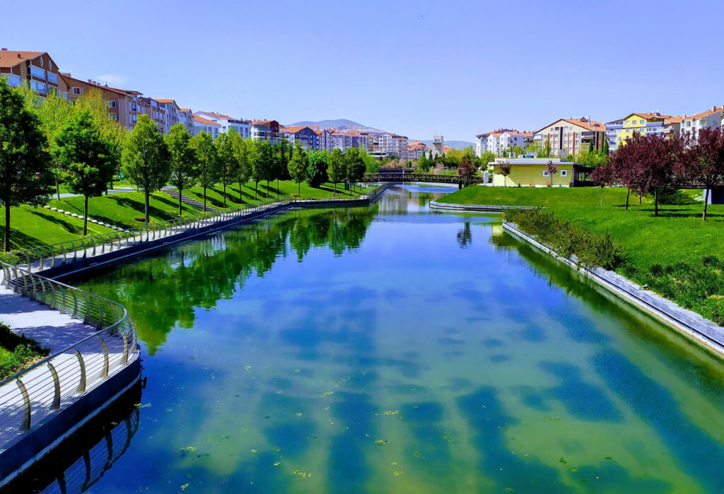
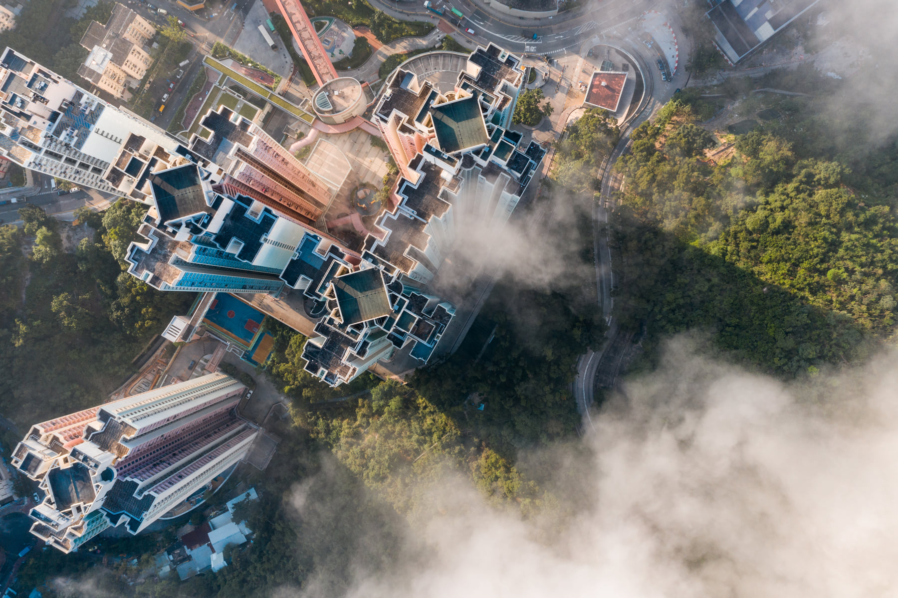
Precision Data Collection for Urban Planning and Land Development
GRM provides the detailed mapping services required for urban planning and land development projects using advanced drone technology and high-precision sensors. In particular, it provides high-resolution orthophotos and 3D modelling support for processes such as pre-development feasibility studies, the assessment of existing building stock, and the extraction of topographical details. This enables architects, urban planners and investors to build their projects on a more reliable foundation.
Drone Monitoring and Surveillance Solutions
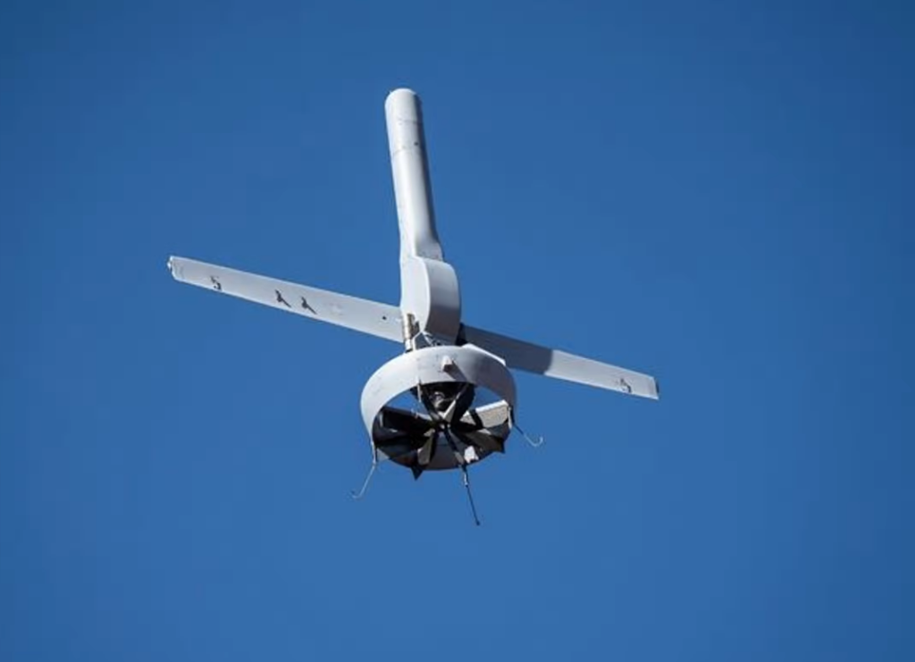
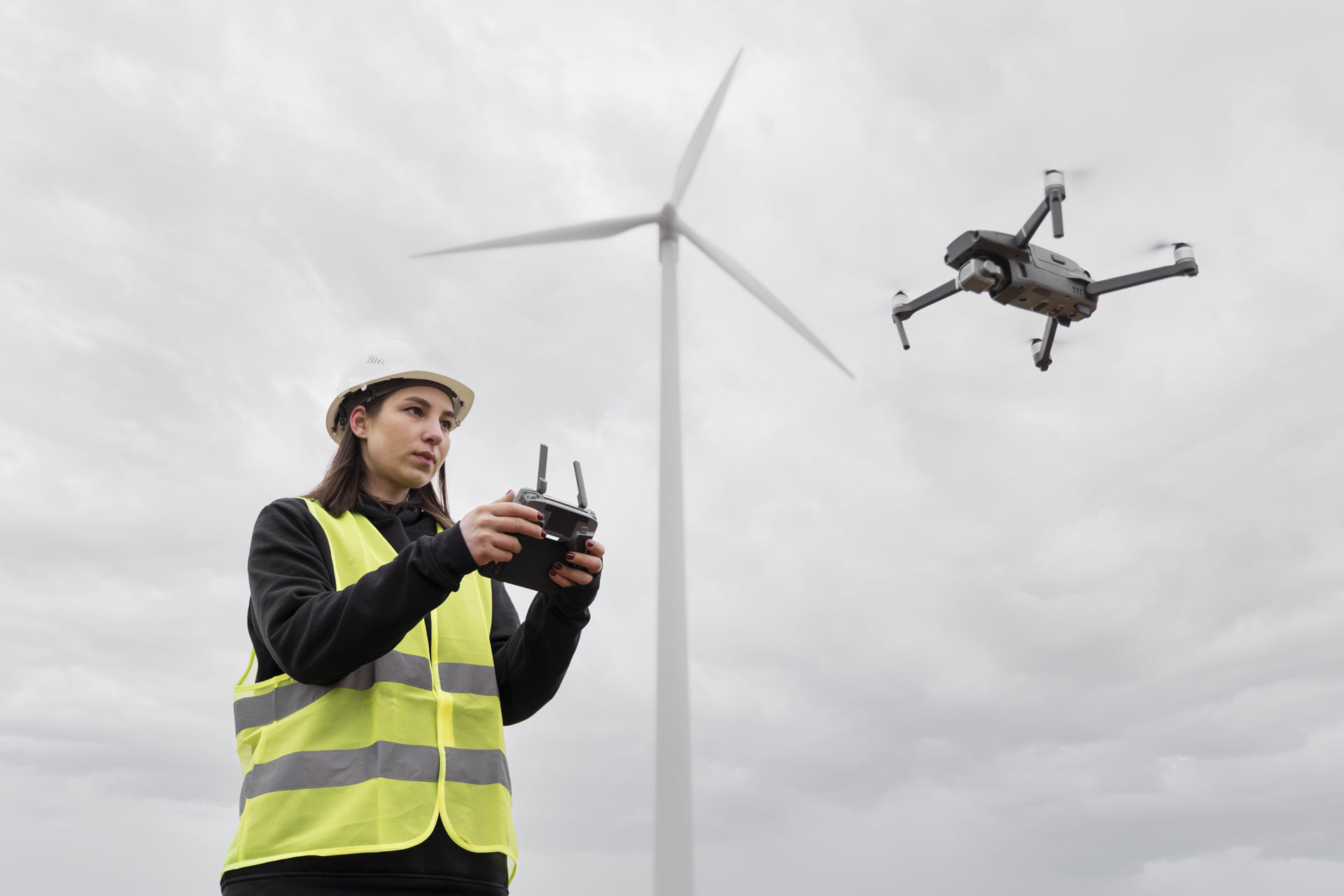
Airborne Monitoring Technologies for the Security of Infrastructure and Natural Resources
GRM provides UAV-supported monitoring solutions for high-risk infrastructure projects (such as power transmission lines and oil and natural gas pipelines). Potential faults, deformations or leaks are detected in real time through thermal and visual scans carried out at high altitudes. Furthermore, the spread of forest fires, the productivity of agricultural land, the structural integrity of bridges and construction progress on site are monitored at regular intervals to ensure safety and sustainability.
Risk Analysis and Mapping
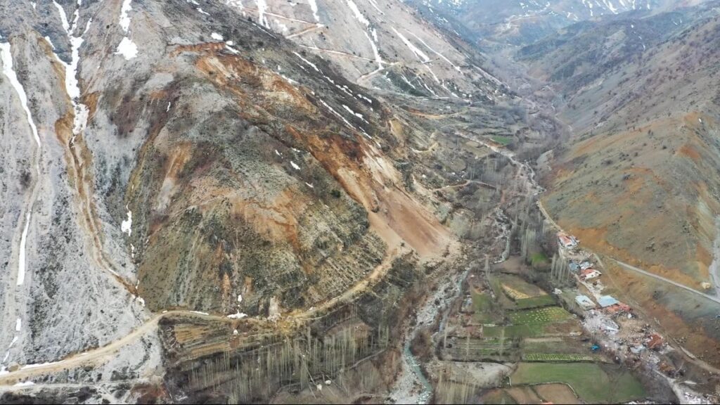
Loss Mitigation and Damage Estimation in Natural Disaster Scenarios
GRM uses UAV technology to carry out rapid post-disaster damage assessment and risk analysis. In areas affected by earthquakes, landslides, floods and similar natural disasters, drone-assisted aerial imaging is used to rapidly map the affected areas. This work is of critical importance for the development of emergency response plans, the effective allocation of resources and the prevention of similar risks in the future.
Engineering Applications and Numerical Analysis

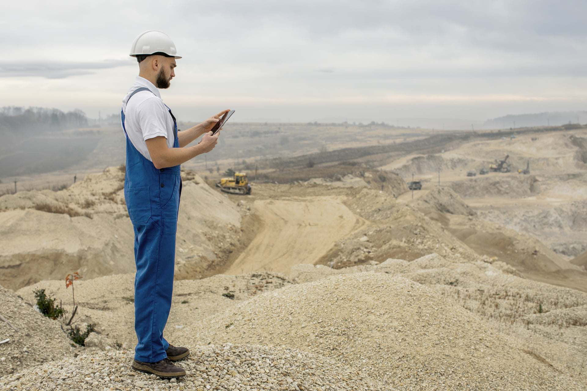
Open-Cast Mine Volume Calculations, Road Design and Elevation Models
GRM uses UAV technology to quickly and effectively collect the precise terrain data required for engineering projects. Services such as calculating excavation and backfill volumes in open-cast mining, planning road routes and creating digital elevation models (DEM, DSM) are analysed by GRM’s engineering department and presented to project owners. This enables the development of solutions that are efficient in terms of time and cost, whilst minimising environmental impacts.