Project Objective
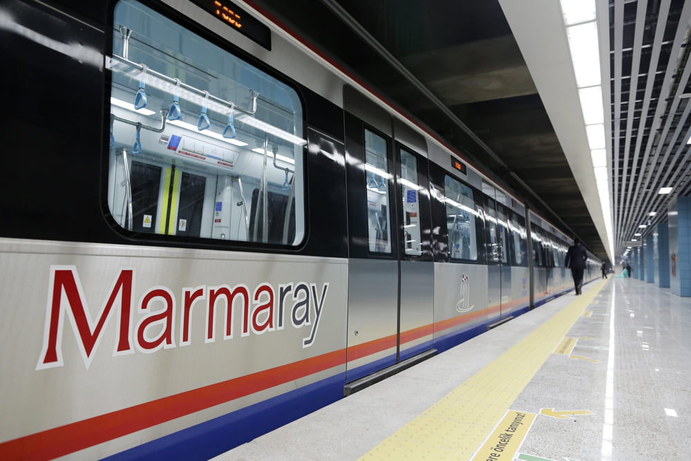
The project involves the preparation of geological maps and cross-sections within a GIS (Geographic Information Systems) environment, with the aim of identifying shallow water well locations along the Marmaray line—which runs from Yenikapı on the European side to Üsküdar on the Anatolian side—and determining the impact of these wells on the Marmaray tunnel excavation works.
Project Title
Study to Determine the Impact of Shallow Water Wells Along the Marmaray Tunnel Alignment – Preparation of Geological Maps and Cross-sections using GIS (Geographic Information Systems)
Project Period
2008–2009
Project Area
Yenikapı – Kadıköy Tunnel Route
Project Partners
TAISEI Corporation, Oyo International Corporation, GRM Bilişim