Project Objective
To produce basic base maps (orthophotos, digital elevation models, point clouds, etc.) using UAVs (drones) for the detection of floods and waterlogging in the city centre of Kırşehir
Project Name
Project for the Production of Basic Map Underlays for Kırşehir City Centre Using UAVs (Drones)
Project Period
2017
Project Area
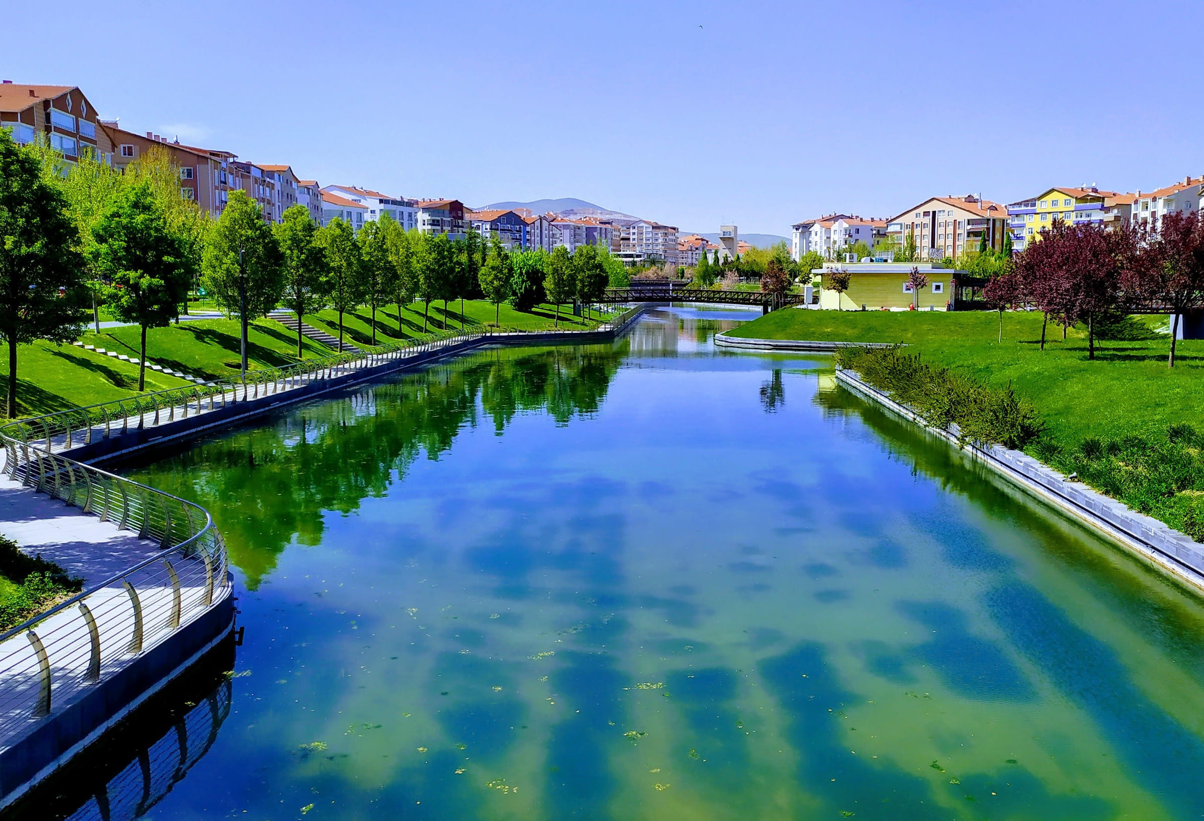
Kırşehir City Centre
Project Partners
Ahi Evran University, GRM Bilişim