

Project Objective
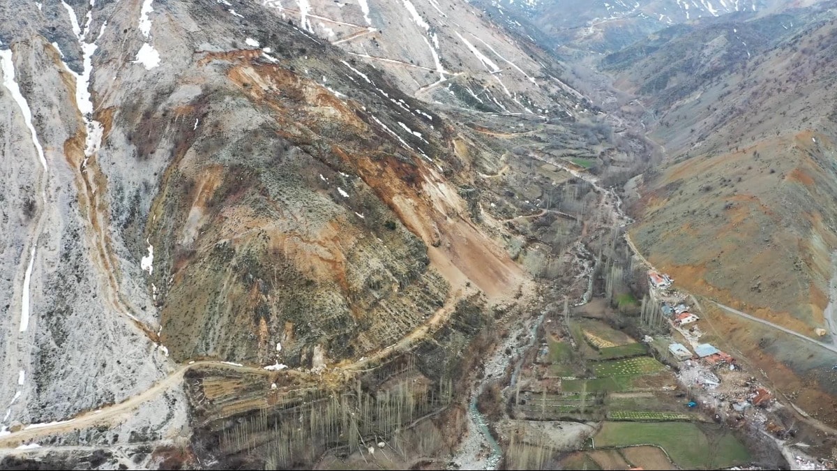
Production of basic base maps (orthophotos, digital elevation models, point clouds, etc.) of the Büyükçekmece landslide area using UAVs (drones)
Project Name
Project for the Production of Basic Map Underlays for the Büyükçekmece Landslide Area Using UAVs (Drones)
Project Period
2017
Project Area
Büyükçekmece Landslide Area
Project Partners
Istanbul Metropolitan Municipality, GRM Bilişim