
Project Objective
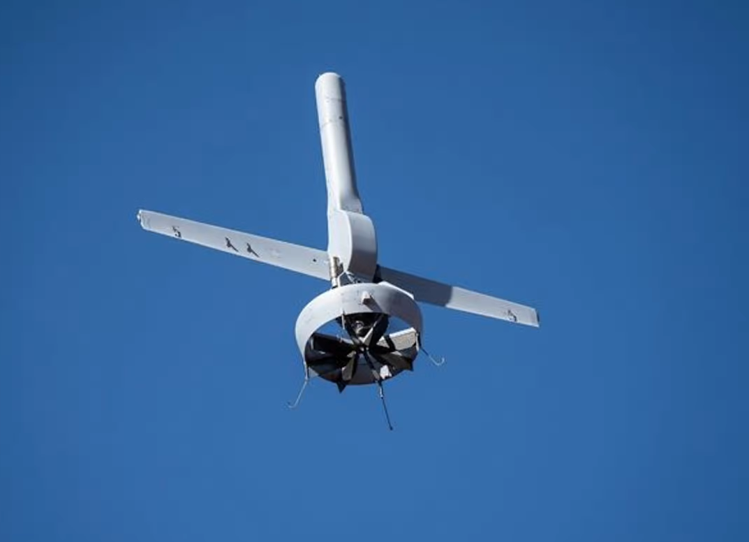
Decision-makers within organisations responsible for emergency management aim to achieve effective emergency management by gaining rapid access to large-scale spatial data relating to a region affected by a natural disaster, such as an earthquake, and subsequently using this data to swiftly communicate their decisions regarding the response to the relevant departments, agencies or organisations. UAVs, to be developed within an integrated framework utilising state-of-the-art technologies for data processing and transmission, will play a highly effective role in meeting the needs of decision-makers in this regard by providing significant facilitation in the data collection, analysis and transmission process. This project aims to establish a system that utilises UAVs incorporating numerous innovative components (such as cameras and autopilot software) to capture and collect aerial photographs of affected areas following a natural disaster, and subsequently mosaic these images to automatically identify damaged buildings using image processing techniques.
Project Name
UAV-Based Natural Disaster Damage Assessment System
Project Period
2016
Project Area
Istanbul
Project Partners
TÜBİTAK, GRM Communications and Information Technology