Project Objective
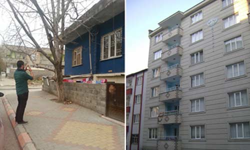
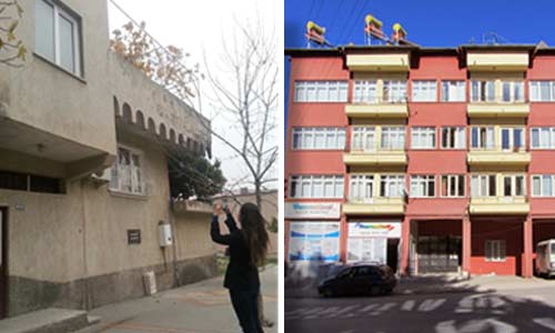
The objective is to collect urban data from the field and compile it within a Geographic Information Systems (GIS) environment, to serve as input for the earthquake risk analyses to be carried out for the provincial municipalities of Burdur, Muş and Kahramanmaraş, which have been selected as pilot provinces.
Project Title
Collection of Urban Data and Its Integration into a GIS Environment as Part of Urban Earthquake Risk Assessment
Project Period
2013 – 2014
Project Area
Burdur, Muş and Kahramanmaraş
Project Partners
Boğaziçi University, Department of Earthquake Engineering, GRM Communications and Information Technology, Ministry of Environment and Urbanisation, GRM Information Technology